Rare Maps and Prints
- World & Celestial
- North America
- West Indies, South & Central America
- British Isles
- British Isles
- English counties
- Large-scale
- Bedfordshire
- Berkshire
- Buckinghamshire
- Cambridgeshire
- Cheshire
- Cornwall
- Cumberland
- Derbyshire
- Devon
- Dorset
- Durham
- Essex
- Gloucestershire
- Hampshire
- Herefordshire
- Hertfordshire
- Huntingdonshire
- Islands
- Kent
- Lancashire
- Leicestershire
- Lincolnshire
- Middlesex
- Norfolk
- Northamptonshire
- Northumberland
- Nottinghamshire
- Oxfordshire
- Rutland
- Shropshire
- Somerset
- Staffordshire
- Suffolk
- Surrey
- Sussex
- Warwickshire
- Westmoreland
- Wiltshire
- Worcestershire
- Yorkshire
- Wales
- Scotland
- Ireland
- Western Europe
- Eastern Europe
- Middle East
- Africa
- Asia
- Australasia & Pacific
- Decorative Prints
- Title Pages
Mr. Philip D. Burden
P.O. Box 863,
Chalfont St. Giles, Bucks HP6 9HD,
UNITED KINGDOM
Tel: +44 (0) 1494 76 33 13
Email: enquiries@caburden.com
Rare maps of World & Celestial
22 rare maps matched your search criteria.
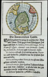
MULLER, Gerhard Friedrich
Ulm, 1692
65 x 75 mm., recent wash colour, on a leaf with descriptive text below, in good condition.
Stock number: 11127
$ 475
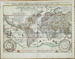
MERIAN, Matthaus
Frankfurt, 1638
270 x 360 mm., recent outline colour, trimmed close to sides but retaining neatline, margins extended, top centrefold repaired, otherwise in good condition.
Stock number: 11110
$ 1,350
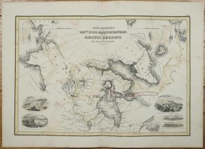
WYLD, James
John Thomson & Co., Edinburgh, c.1825
310 x 445 mm., early outline colour, some light offsetting, otherwise in good condition.
Stock number: 10946
£ 495
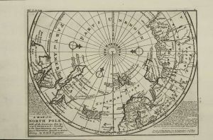
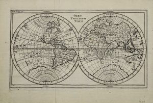
MOLL, Herman
London, c.1746
205 x 275 mm., cut close lower left corner, otherwise in good condition.
Stock number: 10670
£ 195
POLANZANI, Felice
Rome, c.1750
145 x 255 mm., with folds as issued, in good condition.
Stock number: 10506
$ 395
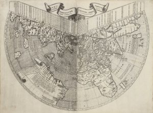
RUYSCH, Johannes
Rome, 1507
410 x 550 mm., in two sheets joined as issued, with two tears in the right side lower margin, both about 9 cms., professionally repaired, otherwise in good condition with margins all round.
Stock number: 10386
$ 345,000
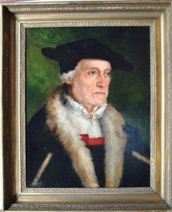
AMBERGER, (After) Christoph
German, c.1850
550 x 430 mm. Oil on the original mid-nineteenth century stretcher, in a later gilt frame.
Stock number: 2926
£ 2,950
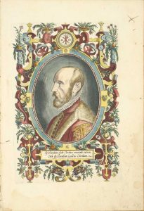
ORTELIUS, Abraham
Antwerp, 1579
325 x 220 mm., later wash colour, with some marginal light waterstain and minor crease, neither affecting the image, otherwise in good condition.
Stock number: 8818
£ 350
BERTIUS, Petrus
Amsterdam, 1616
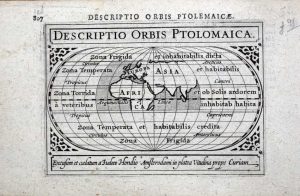
100 x 135 mm., in fine condition.
Stock number: 8602
£ 95
MULLER, Johann Ulrich - BODENEHR, Gabriel
Ulm, 1692-[c.1703]
65 x 80 mm., in good condition.
Stock number: 8302
£ 75
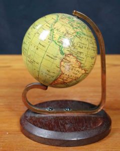
MANNING, James
London, 1857
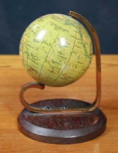
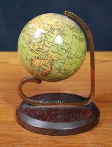
A globe 65 mm. (2.5 inches) in diameter and made of papier mache with a plaster coating and 12 copper engraved printed paper gores running from north to south poles affixed, hand-coloured and varnished by the publisher. The sphere is mounted by the use of two polar metal pivots on to a plain brass meridian half-circle on a wooden stand, the whole standing 100 mm high. In good condition.
Stock number: 8184
£ 1,950
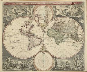
VISSCHER, Nicolaas Jansz.
Amsterdam, 1658
GOLD HIGHLIGHTS. 470 x 560 mm., in superb early wash colour with gold highlights to the meridians and corner cartouche, in very good condition.
Stock number: 7754
£ 6,950
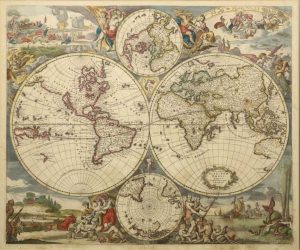
DANCKERTS, Justus
Amsterdam, c.1685
485 x 580 mm., early wash colour, with lower centrefold split and smaller nearby tear into the image repaired, area of light foxing lower right, otherwise in good condition.
Stock number: 7755
£ 4,950
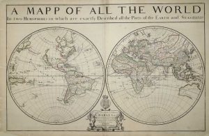
BERRY, William
William Berry at ye Sign of the Globe between Charing Cross and Whitehall, London, 1680
575 x 885 mm., two sheets joined, in early outline colour, some professional repair to edge tears and reinforcement to lower corners, not affecting the image, with the accompanying page of geographical tables, otherwise in good condition.
Stock number: 7758
£ 5,950
SENEX, John
London, 1721
420 x 540 mm., early outline colour. With a small centrefold split at the bottom, repaired, not effecting the image. Otherwise a good example.
Stock number: 7048
£ 2,650
DE WIT, Frederick
Amsterdam, c.1670
480 x 570 mm., in fine early wash colour, remnants of mounting tape to the verso, otherwise in good condition.
Stock number: 6213
£ 5,500
SPEED, John
Sold by Tho:Bassett in Fleetstreet and Richard Chiswell in St. Pauls Church Yard, London, 1627-[76]
420 x 560 mm., in full recent wash colour, in excellent condition with good margins all round.
Stock number: 5309
£ 9,950
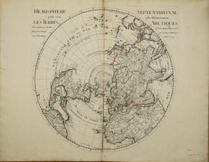
DE L'ISLE, Guillaume
Paris, 1714
480 x 520 mm. each, two maps, early outline colour.
Stock number: 3205
£ 950
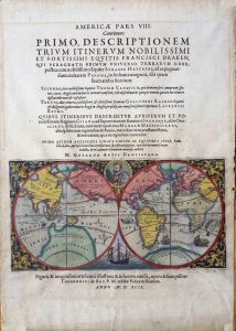
DE BRY, Theodore
Frankfurt, 1599
120 x 225 mm., in full wash colour, with repaired tear in lower right corner, not affecting the image, otherwise in good condition.
Stock number: 9411
$ 2,500
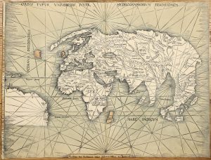
WALDSEEMULLER, Martin
Strasbourg, c.1508-[13]
'THE ADMIRAL'S MAP' in EARLY WASH COLOUR. 440 x 580 mm., in full early wash colour, trimmed close as usual due to the map being larger than all the others in the atlas, with some loss to lower portion including the scale, some reinforcement to the centrefold due to not being published with guards, again as usual, otherwise in good condition.
Stock number: 9745
$ 135,000


