Rare Maps and Prints
- World & Celestial
- North America
- West Indies, South & Central America
- British Isles
- British Isles
- English counties
- Large-scale
- Bedfordshire
- Berkshire
- Buckinghamshire
- Cambridgeshire
- Cheshire
- Cornwall
- Cumberland
- Derbyshire
- Devon
- Dorset
- Durham
- Essex
- Gloucestershire
- Hampshire
- Herefordshire
- Hertfordshire
- Huntingdonshire
- Islands
- Kent
- Lancashire
- Leicestershire
- Lincolnshire
- Middlesex
- Norfolk
- Northamptonshire
- Northumberland
- Nottinghamshire
- Oxfordshire
- Rutland
- Shropshire
- Somerset
- Staffordshire
- Suffolk
- Surrey
- Sussex
- Warwickshire
- Westmoreland
- Wiltshire
- Worcestershire
- Yorkshire
- Wales
- Scotland
- Ireland
- Western Europe
- Eastern Europe
- Middle East
- Africa
- Asia
- Australasia & Pacific
- Decorative Prints
- Title Pages
Mr. Philip D. Burden
P.O. Box 863,
Chalfont St. Giles, Bucks HP6 9HD,
UNITED KINGDOM
Tel: +44 (0) 1494 76 33 13
Email: enquiries@caburden.com
Rare maps of British Isles
608 rare maps matched your search criteria.
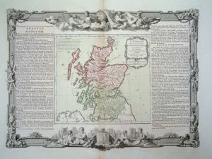
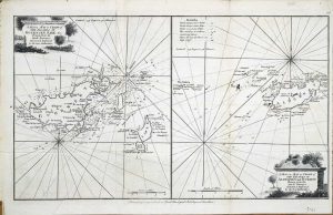
BRION DE LA TOUR, Louis
Paris, 1766
280 x 310 mm., early wash colour printed from two copper plates: the map is one and the outer border a second. The text panels to the sides are pasted on as usual. In good condition.
Stock number: 5874
£ 125
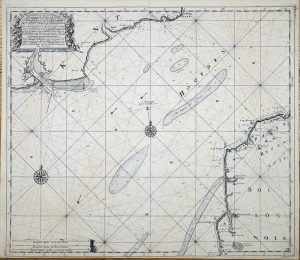
VAN KEULEN, Gerard
Amsterdam, 1734
520 x 600 mm., printed on thick paper in good condition.
Stock number: 5877
£ 250
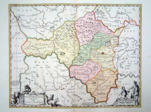
SCHENK, Pieter & VALK, Gerard
Amsterdam, 1646-[c.1720]
420 x 500 mm., fine early wash colour, in good condition.
Stock number: 5878
£ 160
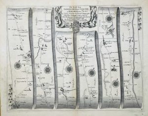
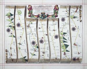
OGILBY, John
London, 1675
345 x 450 mm., in good condition.
Stock number: 5882
£ 150
OGILBY, John
London, 1675
345 x 455 mm., in modern outline colour but in fine early red ruling, in good condition.
Stock number: 5883
£ 180
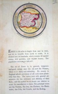
LUFFMAN, John
London, 1803
70 x 70 mm., with text below, in fine full early wash colour.
Stock number: 5805
£ 120
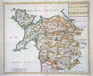
MORDEN, Robert
London, 1722
365 x 435 mm., in modern outline colour.
Stock number: 5815
£ 65
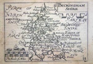
KEERE, Pieter van den
London, 1627
85 x 120 mm., light finger soiling otherwise in good condition.
Stock number: 5789
£ 95
KEERE, Pieter van den
London, 1627
85 x 120 mm., in good condition.
Stock number: 5802
£ 100
BOWEN, Emanuel & KITCHIN, Thomas
London, 1767
230 x 325 mm., in good condition.
Stock number: 5744
£ 110
BLOME, Richard
London, 1673
245 x 310 mm., in good condition.
Stock number: 5734
£ 125
BOWEN, Emanuel & KITCHIN, Thomas
London, 1767
325 x 230 mm., early outline colour, good condition.
Stock number: 5742
£ 145
ELLIS, Joseph
London, c.1766
235 x 395 mm., with folds as issued, otherwise in good condition.
Stock number: 5743
£ 125
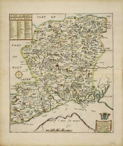
BLOME, Richard
London, 1673
300 x 260 mm., in attractive outline colour with some wash colour to cartouches.
Stock number: 5728
£ 325
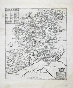
BLOME, Richard
London, 1673
300 x 260 mm., in good condition.
Stock number: 5729
£ 275
BLOME, Richard
London, 1673
325 x 260 mm., in good condition.
Stock number: 5730
£ 100
BLOME, Richard
London, 1673
310 x 285 mm., in good condition.
Stock number: 5731
£ 125
BLOME, Richard
London, 1673
310 x 285 mm., in early outline colour in good condition.
Stock number: 5732
£ 165
BLOME, Richard
London, 1673
320 x 260 mm., in good condition.
Stock number: 5733
£ 125
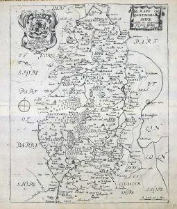
BLOME, Richard
London, 1673
220 x 290 mm., in good condition.
Stock number: 5711
£ 125


