Rare Maps and Prints
- World & Celestial
- North America
- West Indies, South & Central America
- British Isles
- British Isles
- English counties
- Large-scale
- Bedfordshire
- Berkshire
- Buckinghamshire
- Cambridgeshire
- Cheshire
- Cornwall
- Cumberland
- Derbyshire
- Devon
- Dorset
- Durham
- Essex
- Gloucestershire
- Hampshire
- Herefordshire
- Hertfordshire
- Huntingdonshire
- Islands
- Kent
- Lancashire
- Leicestershire
- Lincolnshire
- Middlesex
- Norfolk
- Northamptonshire
- Northumberland
- Nottinghamshire
- Oxfordshire
- Rutland
- Shropshire
- Somerset
- Staffordshire
- Suffolk
- Surrey
- Sussex
- Warwickshire
- Westmoreland
- Wiltshire
- Worcestershire
- Yorkshire
- Wales
- Scotland
- Ireland
- Western Europe
- Eastern Europe
- Middle East
- Africa
- Asia
- Australasia & Pacific
- Decorative Prints
- Title Pages
Mr. Philip D. Burden
P.O. Box 863,
Chalfont St. Giles, Bucks HP6 9HD,
UNITED KINGDOM
Tel: +44 (0) 1494 76 33 13
Email: enquiries@caburden.com
Rare maps of British Isles
608 rare maps matched your search criteria.
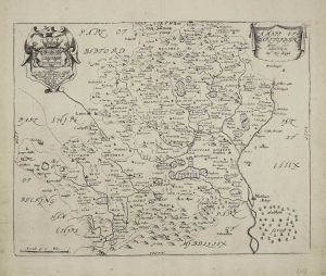
BLOME, Richard
London, 1673
255 x 320 mm., two small wormholes in lower margin repaired, otherwise in good condition.
Stock number: 8058
£ 275
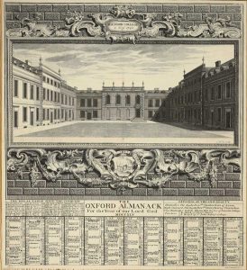
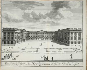
THE OXFORD ALMANACK
Oxford, 1745
500 x 450 mm., in good condition.
Stock number: 8059
£ 275
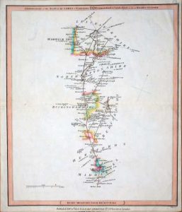
LAURIE, Robert & WHITTLE, James
London, 1815
310 x 255 mm., early outline colour, light crease lower right corner, in good condition.
Stock number: 7914
£ 25
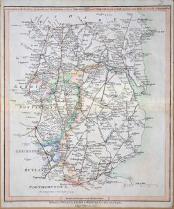
LAURIE, Robert & WHITTLE, James
London, 1815
310 x 255 mm., early outline colour, in good condition.
Stock number: 7915
£ 30
KIP, Johannes
David Mortier, London, 1707
470 x 585 mm., in good condition.
Stock number: 7916
£ 350
BLOME, Richard
London, 1673
230 x 285 mm., large margins, in good condition.
Stock number: 7897
£ 125
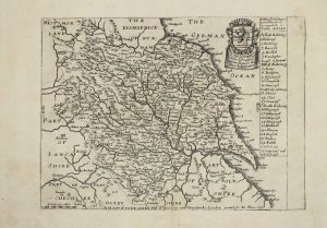
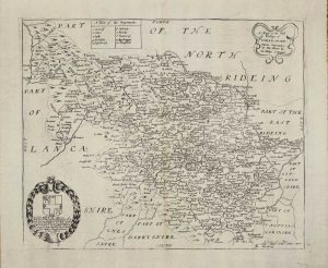
BLOME, Richard
London, 1670-[73]
205 x 280 mm., large margins, in good condition.
Stock number: 7899
£ 225
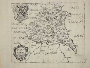
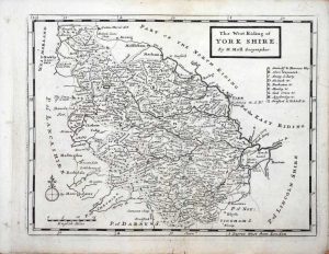
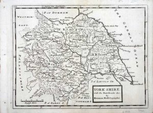
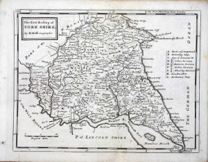
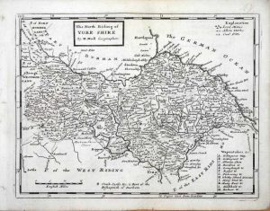
MOLL, Herman
London, 1724-[53]
Four maps each c.195 x 250 mm., small margin loss at the bottom of that of East Riding just into the neatline, small tear lower left of the whole, both professionally repaired, otherwise in acceptable condition.
Stock number: 7901
£ 550
BLOME, Richard
London, 1673
265 x 320 mm., large margins, in good condition.
Stock number: 7896
£ 275
SELLER, John
London, c.1690
420 x 510 mm., a couple of small areas of thin paper, one upper centrefold repaired, 40 mm. tear into image lower right corner, professionally repaired, otherwise a good example.
Stock number: 7842
£ 950
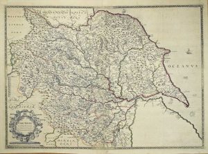
BLAEU, Willem Janszoon
Amsterdam, 1608
250 x 555 mm., small paper crease lower left of centre, two small marks in lower margin, otherwise a very good example.
Stock number: 7747
£ 1,295
ORTELIUS, Abraham - VRIENTS, Jan Baptiste
Antwerp, 1605-[09]
435 x 570 mm., in full early wash colour, trimmed close to the side margins as is often the case, with no apparent loss, otherwise in very good condition.
Stock number: 7752
£ 4,750
SAXTON, Christopher - WILLDEY, George
George Willdey, London, 1577-[1720]
530 x 730 mm. In early outline colour. Repair to central double fold as might be expected, otherwise in good condition.
Stock number: 7768
£ 4,500
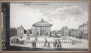
HOLLAR, Wenceslaus
London, c.1644-[c.55]
145 x 255 mm., trimmed to plate mark, light foxing otherwise in good condition.
Stock number: 7733
£ 95
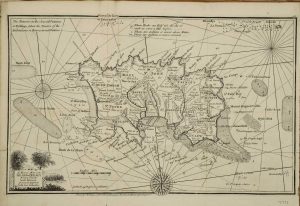
ELLIS, Joseph
London, 1765
240 x 385 mm., with folds as issued, in good condition.
Stock number: 7735
£ 125
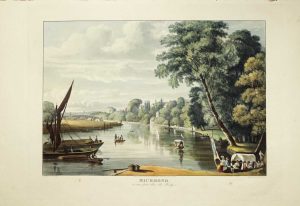
ACKERMANN, Rudolph
London, 1 January 1819
325 x 435 mm., aquatint engraving in superb early wash colour, two small fox marks in lower margin, otherwise in excellent condition with good margins.
Stock number: 7737
£ 695
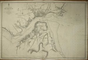
CALVER, E. Killwick
Admiralty Office, London, 1849
635 x 955 mm., with some light foxing, otherwise in good condition.
Stock number: 7742
£ 195
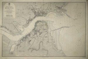
CALVER, E. Killwick
Admiralty Office, London, 1849-[83]
635 x 955 mm., with some light offsetting, otherwise in good condition.
Stock number: 7743
£ 150
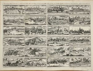
JOLLAIN, Francois Gerard
A lenfent Jesus, Paris, c.1690
360 x 485 mm., with old folds after being bound in a book, some very minor restoration to folds but otherwise in very good condition.
Stock number: 7652
£ 2,500


