Clive A. Burden LTD. Rare Maps, Antique Atlases, Books and Decorative Prints

The Mapping of North America

Mr. Philip D. Burden​
P.O. Box 863,
Chalfont St. Giles, Bucks HP6 9HD,
UNITED KINGDOM
Tel: +44 (0) 1494 76 33 13
Email: enquiries@caburden.com

Rare maps of English counties

Rare antique maps of England for sale. Clive A. Burden Ltd. offers a wide range of authentic old maps of the English counties, regions, cities and towns. These genuine printed maps range from the earliest English county map printed by Saxton in the sixteenth century to the late nineteenth century, and many are hand-coloured. These rare maps include English county maps on a large-scale printed from the eighteenth century and sea charts recording with increased accuracy England as it evolved through the industrial revolution. This is most notable with town plans, and birds-eye views recorded in great detail.

461 rare maps matched your search criteria.
TAYLOR, Thomas
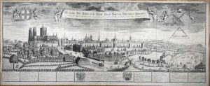
Sold by Tho: Taylor at the Golden Lyon in Fleet street, London, 1713
Newcastle Upon Tyne
485 x 585 mm., a dark impression with large margins, in good condition.
Stock number: 10471
£ 595
   

JANSSON, Jan
Amsterdam, 1646
Surria vernacule Surrey
380 x 495 mm., with early outline and wash colour, in good condition.
Stock number: 10357
£ 575
   

OGILBY, John
London, 1675
The Road from London to Arundel com: Sussex
320 x 445 mm., recent wash colour, in good condition.
Stock number: 10358
£ 325
   

BOWEN, Emanuel
Printed for T. Bowles in St. Pauls Church Yard, J. Bowles & Son. and Mess. Bakewell & Parker in Cornhill, H. Overton without Newgate, T. Kitchin on Holborn Hill, R. Sayer & J. Ryall & in Fleet Street., London, c.1764
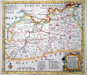
An Accurate Map of the County of Surrey
EXCEEDINGLY RARE FIRST STATE. 420 x 500 mm., in early outline colour, with small wormhole at the edge of the lower margin, otherwise in good condition.
Stock number: 10364
£ 750
   

MOLL, Herman
London, c.1690
A New Map Containing the Towns Gentlemens Houses Villages and other Remarks Round London ...
A VERY EARLY ENVIRONS MAP. 260 x 290 mm., in early wash colour, with large margins, in very good condition.
Stock number: 9990
£ 1,750
   

SPEED, John
Thomas Snodham for John Sudburie and George Humble, and are to be sold in Popes-head Palace, London, 1615
Northamton Shire
495 x 745 mm., early outline and wash colour, with pasted descriptive text to three sides, slight loss to the upper left hand corner, otherwise in good condition.
Stock number: 9885
£ 3,500
   

LEA, Philip
Phil. Lea at ye Atlas & Hercules in Cheapside, London, c.1690
A Mapp Containing the Townes Villages Gentlemens Houses Roads Rivers Woods and other Remarks for 20 Miles Round London
515 x 560 mm., early outline colour, with minor water stain, printed on thick paper, with fold as issued, otherwise in good condition.
Stock number: 9734
£ 4,500
   

PRIORATO, Galeazzo Gualdo
Battista Hacque, Vienna, 1674
Londra. Incendio Della Gran Citta di Londra Metropoli del Regno d'Inghilterra Succaesso Adi 21 di Settembre 1666. Dal Quale in 4 Giorni fu Abbrucciata la Piu Gran Pares con Danno Inestimablile
290 x 890 mm., two sheet copper plate engraving joined, in excellent condition.
Stock number: 9733
£ 3,950
   

SMITH, William - OVERTON, John
Printed and Sould by P. Stent Sould by John Overton at ye white horse without Newgate neere ye fountaine tavern, London, c.1603-[c.1670]
A New Mapp of the County of Suffolk
335 x 485 mm., with double folds as issued, light paper wrinkling, otherwise in good condition.
Stock number: 10466
£ 750
   

SMITH, William - OVERTON, John
London, c.1603-[c.1670]
Northamptoniae Comitatus Descriptio
365 x 490 mm., with double folds as issued, some paper creases, cut close, otherwise in good condition.
Stock number: 10465
£ 495
   

VAN VOORST, John
Holmesdale Natural History Club, London, [1863]
Map of the County of Surrey, Shewing the Botanical Divisions used in the Flora of the County
485 x 555 mm., unfolded, in very good condition.
Stock number: 10450
£ 150
   

VAN VOORST, John
Holmesdale Natural History Club, London, [1863]
Geological Map of the County of Surrey
485 x 555 mm., early wash colour, UNFOLDED, in very good condition.
Stock number: 10369
£ 295
   

MORDEN, Robert
London, 1695
Surrey
355 x 415 cm., in good condition.
Stock number: 10362
£ 175
   

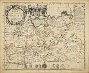
SELLER, John - LEA, Philip
Philip Lea at ye Atlas and Hercules in Cheap Side, London, c.1680-[c.93]
Surrey Actually Survey'd and Delineated
SEPARATELY PUBLISHED. 420 x 515 mm., in early outline colour, in very good condition.
Stock number: 10360
£ 1,650
   

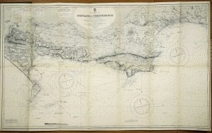
THE ADMIRALTY
1893-[1929]
Portland to Christchurch
665 x 1110 mm., laid on contemporary linen, folding a full contemporary publisher's blue calf binding, complete with gilt title embossed on the upper board, in very good condition.
Stock number: 9987
£ 100
   

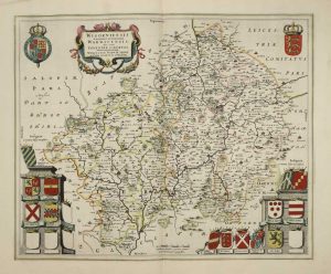
BLAEU, Joan
Amsterdam, 1645
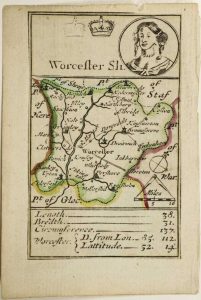
Wigorniensis Comitatus et Comitatus Warwicensis; nec non Coventrae Libertas. Worcester, Warwik Shire and the Liberty of Coventre
410 x 500 mm., in early outline colour with wash to the cartouches, French text to the verso, in good condition.
Stock number: 10442
£ 375
   

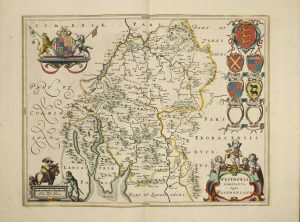
BLAEU, Joan
Amsterdam, c.1650
Westmoria Comitatus; Anglice Westmorland
380 x 500 mm., in early outline colour with French text to the verso, in good condition.
Stock number: 10443
£ 275
   

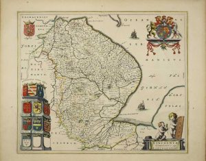
BLAEU, Joan
Amsterdam, 1645-[46]
Lincolnia Comitatus. Anglis Lincoln-Shire
430 x 500 mm., in early outline colour, in very good condition.
Stock number: 10428
£ 350
   

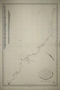
MACKENZIE, Murdoch Jnr.
Depot de la Marine, Paris, 1825
Carte de la Cote Occidentale d'Angleterre Depuis le Cap St. Agnes jusqu'a la Pte. de Hartland
630 x 450 mm., in good condition.
Stock number: 10434
£ 150
   

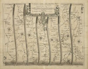
OGILBY, John
London, 1675
The Road from York to West=Chester
340 x 440 mm., light paper wrinkle to left and lower margins, otherwise in good condition.
Stock number: 10435
£ 225
   

Send us your name and email address.
We'll add you to our subscriber list and alert you to new catalogues and similar news