Clive A. Burden LTD. Rare Maps, Antique Atlases, Books and Decorative Prints

The Mapping of North America

Mr. Philip D. Burden​
P.O. Box 863,
Chalfont St. Giles, Bucks HP6 9HD,
UNITED KINGDOM
Tel: +44 (0) 1494 76 33 13
Email: enquiries@caburden.com

Rare maps of English counties

Rare antique maps of England for sale. Clive A. Burden Ltd. offers a wide range of authentic old maps of the English counties, regions, cities and towns. These genuine printed maps range from the earliest English county map printed by Saxton in the sixteenth century to the late nineteenth century, and many are hand-coloured. These rare maps include English county maps on a large-scale printed from the eighteenth century and sea charts recording with increased accuracy England as it evolved through the industrial revolution. This is most notable with town plans, and birds-eye views recorded in great detail.

461 rare maps matched your search criteria.
OGILBY, John
London, 1675
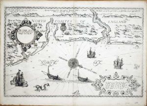
Dartmouth to Minehead
345 x 445 mm., light overall toning otherwise in good condition.
Stock number: 8391
£ 150
   

SANDBY, Paul
London, 1780
Windsor
145 x 230 mm., with very light water stain, printed in sepia on thick paper with good margins.
Stock number: 8372
£ 150
   

MORDEN, Robert
London, 1772
Warwickshire
360 x 420 mm., with accompanying text in good condition.
Stock number: 8339
£ 80
   

MERCATOR, Gerard - HONDIUS, Henricus
Amsterdam, c.1620
Eboracum, Lincolnia, Derbia, Staffordia, Notinghamia, Lecestria, Rutlandia, et Norfolcia
360 x 420 mm., modern wash colour, in good condition.
Stock number: 8308
£ 165
   

ANONYMOUS
Unknown, c.1840
(High Street Lutterworth)
230 x 310 mm., early coloured lithograph with ruled border, some light foxing upper left otherwise in good condition.
Stock number: 8301
£ 50
   

DANIELL, William
London, 1823
Poole, Dorsetshire
215 x 280 mm., early hand-coloured aquatint with pale grey wash border, in good condition.
Stock number: 8300
£ 225
   

ANONYMOUS
1830
Bourne Mouth 1830
175 x 535 mm., pencil drawing on paper pasted on the right side at the corners onto thin paper, in good condition.
Stock number: 8295
£ 250
   

BOWLES, Thomas
John Bowles at Mercers Hall in Cheapside, London, 1728
A New & Exact Plan of ye City of London and Suburbs there of, With the addition of the New Buildings, Churches & c. to this present year 1728. (Not extant in any other,) Laid down in such a method that in an Instant, may easily be found any Place contain'd therein
590 x 1440 mm., early outline colour, five sheets joined (three folio and two side panels), some light toning along two joins with professional restoration, minimal loss, otherwise in good condition.
Stock number: 8227
£ 4,500
   

PROBST, George Balthasar
Augsburg, c.1765
London
360 x 1125 mm., two sheets joined as one, with minor margin tears and the two right side corners all professionally repaired, none effecting the image, otherwise in good condition.
Stock number: 8226
£ 4,500
   

SAXTON, Christopher - KIP, William
London, 1607-[10]
Notingamiae Comitatus olim Pars Coritaniorum
260 x 310 mm., small split in lower margin repaired, otherwise in good condition.
Stock number: 8218
£ 160
   

SAXTON, Christopher - KIP, William
London, 1607
Notingamiae Comitatus olim Pars Coritaniorum
260 x 310 mm., small split in lower margin, not affecting the image, with Latin text to the verso, in good condition.
Stock number: 8217
£ 160
   

OLIVER, John
John Seller and John Hill, London, c.1676
A Mapp of the Cityes of London & Westminster & Burrough of Southwark with their Suburbs as it is now Rebuilt since the late dreadfull Fire
ONLY THREE RECORDED EXAMPLES. 445 x 590 mm., with some loss of engraved area upper and lower right and lower left, trimmed close to the engraved border but with extended margins, the double folds are generally in good condition with some light reinforcement on the verso only, otherwise okay for an extremely rare map.
Stock number: 8176
£ 4,950
   

OVERTON, Philip - BOWLES, Thomas
London, 1726
The Counties of Essex Middlesex & Hertfordshire. Actualy Survey'd by Several Hands Corrected and Amended & Humbly Dedicated to the Nobility and Gentry of the Said Counties
590 x 925 mm., early outline colour, with secondary folds as issued to facilitate binding, some to lower right fold repair work and at the double folds, light brown to right fold otherwise in good condition.
Stock number: 8175
£ 1,500
   

HALLEY, Edmond
J & J Knapton, London, 1728
A Draught of the Bristol Channel from the Holmes to King Road, including the River Avon. taken from Capt. Holliday's Survey of the said River kept in ye Merchants Hall at Bristol.
460 x 550 mm., with minor toning to the centrefold, otherwise in good condition.
Stock number: 8137
£ 550
   

VAN KEULEN, Gerard
Amsterdam, 1734
(Portland Bill)/ (Romney Marsh)
500 x 295 mm., in good condition.
Stock number: 8111
£ 250
   

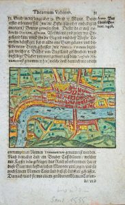
ROMAIN, Adrien
Frankfurt, 1595
(London)
70 x 95 mm., in early wash colour.
Stock number: 8119
£ 375
   

GLASSCOCK, I
(Unknown), 1842
North St. Bishops Stortford
175 x 210 mm., aquatint engraving in early wash colour, with light folds just perceptible to the sides otherwise in good condition.
Stock number: 8114
£ 95
   

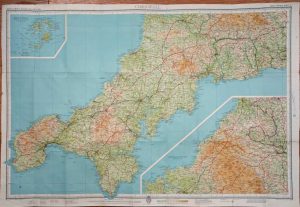
BARTHOLOMEW, John & Son
London, 1950
Bartholomew's Revised
560 x 820 mm., printed colour, large folding map backed on linen within its publishers end boards complete with printed title, in very good condition.
Stock number: 8095
£ 95
   

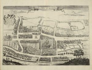
CHAUNCY, Sir Henry
London, 1700
The Town of Hitchin
275 x 395 mm., copperplate engraving in good condition.
Stock number: 8093
£ 150
   

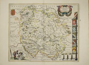
BLAEU, Joan
Amsterdam, 1646
Herefordia Comitatus. Herefordshire
410 x 500 mm., in early outline colour with Latin text to the verso, in good condition.
Stock number: 8089
£ 350
   

Send us your name and email address.
We'll add you to our subscriber list and alert you to new catalogues and similar news