Rare Maps and Prints
- World & Celestial
- North America
- West Indies, South & Central America
- British Isles
- British Isles
- English counties
- Large-scale
- Bedfordshire
- Berkshire
- Buckinghamshire
- Cambridgeshire
- Cheshire
- Cornwall
- Cumberland
- Derbyshire
- Devon
- Dorset
- Durham
- Essex
- Gloucestershire
- Hampshire
- Herefordshire
- Hertfordshire
- Huntingdonshire
- Islands
- Kent
- Lancashire
- Leicestershire
- Lincolnshire
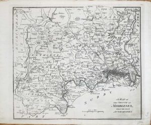
- Middlesex
- Norfolk
- Northamptonshire
- Northumberland
- Nottinghamshire
- Oxfordshire
- Rutland
- Shropshire
- Somerset
- Staffordshire
- Suffolk
- Surrey
- Sussex
- Warwickshire
- Westmoreland
- Wiltshire
- Worcestershire
- Yorkshire
- Wales
- Scotland
- Ireland
- Western Europe
- Eastern Europe
- Middle East
- Africa
- Asia
- Australasia & Pacific
- Decorative Prints
- Title Pages
Mr. Philip D. Burden
P.O. Box 863,
Chalfont St. Giles, Bucks HP6 9HD,
UNITED KINGDOM
Tel: +44 (0) 1494 76 33 13
Email: enquiries@caburden.com
Rare maps of Middlesex
46 rare maps matched your search criteria.
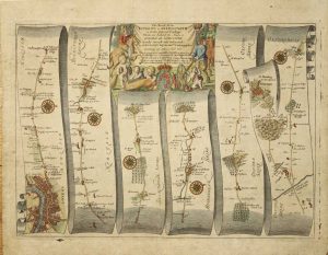
OGILBY, John
London, 1675
310 x 430 mm., later wash colour on lightly toned paper.
Stock number: 3570
£ 425
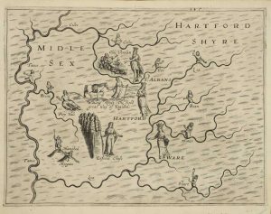
DRAYTON, Michael
London, 1612-[13]
250 x 330 mm., a truly perfect example.
Stock number: 3479
£ 325
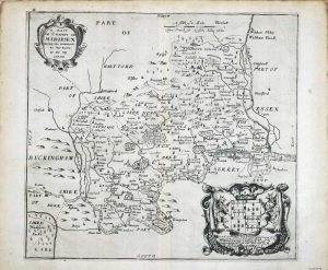
BLOME, Richard
London, 1673
280 x 310 mm. Uncoloured.
Stock number: 2587
£ 195
BLOME, Richard & TAYLOR, Thomas
London, 1681-[1715]
140 x 210 mm. With early wash colour. Slight discolouration to centrefold, and repair to lower centrefold.
Stock number: 2588
£ 165
LODGE, John
London, 1788
290 x 325 mm. Uncoloured. Slightly faint down left hand side of map.
Stock number: 2592
£ 85
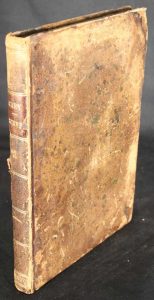
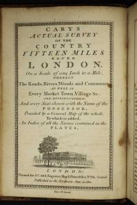
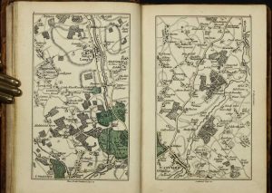
CARY, John
John Cary, Engraver, Map & Print-seller; No. 181 Strand, London, 20 June 1800
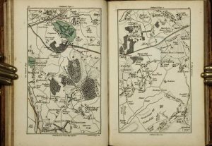
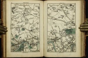
Small quarto (180 x 120 mm.), full contemporary calf, rebacked with double gilt ruled compartments, gilt date and calf gilt title label, light wear. With engraved title page, facing Explanation, folding general map, 50 full page maps, all in early outline colour with some wash to woods and parks, Index to place-names in three columns pp. 13., in good condition.
Stock number: 10193
£ 1,100


