Rare Maps and Prints
- World & Celestial
- North America
- West Indies, South & Central America
- British Isles
- British Isles
- English counties
- Large-scale
- Bedfordshire
- Berkshire
- Buckinghamshire
- Cambridgeshire
- Cheshire
- Cornwall
- Cumberland
- Derbyshire
- Devon
- Dorset
- Durham
- Essex
- Gloucestershire
- Hampshire
- Herefordshire
- Hertfordshire
- Huntingdonshire
- Islands
- Kent
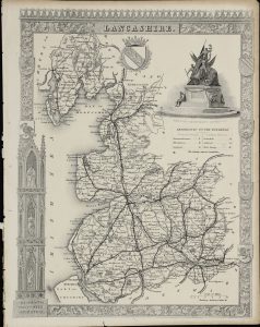
- Lancashire
- Leicestershire
- Lincolnshire
- Middlesex
- Norfolk
- Northamptonshire
- Northumberland
- Nottinghamshire
- Oxfordshire
- Rutland
- Shropshire
- Somerset
- Staffordshire
- Suffolk
- Surrey
- Sussex
- Warwickshire
- Westmoreland
- Wiltshire
- Worcestershire
- Yorkshire
- Wales
- Scotland
- Ireland
- Western Europe
- Eastern Europe
- Middle East
- Africa
- Asia
- Australasia & Pacific
- Decorative Prints
- Title Pages
Mr. Philip D. Burden
P.O. Box 863,
Chalfont St. Giles, Bucks HP6 9HD,
UNITED KINGDOM
Tel: +44 (0) 1494 76 33 13
Email: enquiries@caburden.com
Rare maps of Lancashire
14 rare maps matched your search criteria.
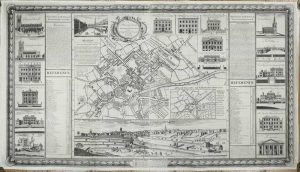
CASSON, Russel & BERRY, John
Manchester, 1741-[c.46]
THE FIRST PLAN OF MANCHESTER. 695 x 1230 mm., in two sheets joined, with some support repairs to the verso but no apparent loss, edges re-margined just affecting ornamental border below, otherwise in good condition.
Stock number: 11193
£ 3,500
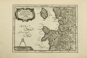
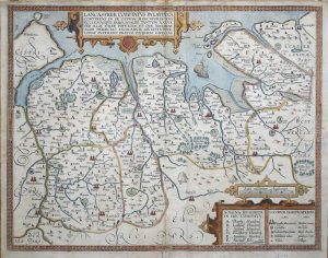
CLOPPENBURG, Johannes - DU SAUZET, Henri
Amsterdam, 1630-[1735]
190 x 260 mm., in good condition.
Stock number: 10680
£ 95
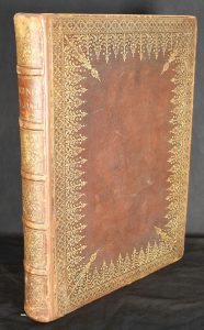
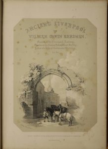
HERDMAN, William Gawin
Henry Graves & Company and William Holden, London & Liverpool, 1843
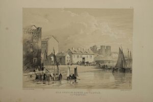
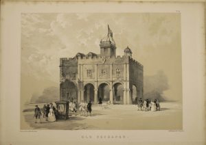
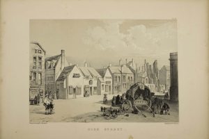
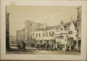
FIRST EDITION with FINE BINDING. Folio (370 x 270 mm.), full contemporary calf, extremely ornate gilt panelled boards, rebacked preserving the original spine, raised bands, ornate gilt compartments, gilt title, luxurious silk lined endpapers with ornate gilt panelling, gauffered edges with gilt. With lithographed frontispiece title, additional typographic title, pp. xii, 104, with 48 lithographed plates, several with more than one subject, some slight spotting and soiling as usual, otherwise in good condition.
Stock number: 10754
£ 595
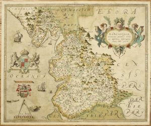
SAXTON, Christopher
London, 1577-[79]
400 x 485 mm., early wash colour, some very light offsetting, otherwise a good example.
Stock number: 10460
£ 7,500
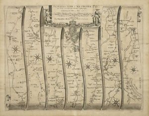
OGILBY, John
London, 1675
340 x 440 mm., light paper wrinkle to left and lower margins, otherwise in good condition.
Stock number: 10435
£ 225
SMITH, William - OVERTON, John
Printed and sould by I. Overton over ainst Sepulchers church, London, c.1603-[c.70]
370 x 475 mm., in old outline colour, small tear just into the image lower centre, otherwise in good condition.
Stock number: 9621
£ 1,950
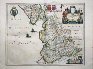
BLAEU, Joan
Amsterdam, 1645-[48]
390 x 480 cms., in early outline colour, light mark in the upper margin outside the image otherwise in good condition.
Stock number: 9014
£ 575
MORDEN, Robert
London, 1695
415 x 360 mm., in good condition.
Stock number: 8081
£ 165
WEIMAR GEOGRAPHISCHES INSTITUT
Weimar, 1805
195 x 255 mm., with extended lower margin otherwise in good condition.
Stock number: 8076
£ 90
CLOPPENBURG, Johannes
Amsterdam, 1630
195 x 255 mm., in good condition.
Stock number: 6233
£ 150
OGILBY, John
London, 1675
340 x 440 mm., some reinforcement to extreme edges of the side margins, one light crease otherwise in good condition.
Stock number: 5887
£ 225
WELLER, Edward
London, 1865
630 x 430 mm., double page in good condition.
Stock number: 5258
£ 150
MOULE, Thomas
London, 1840
265 x 200 cm. Uncoloured. Top margin tight, stitch marks to left margin, with margin in tact. Repair to 1" tear lower left hand and bottom margin.
Stock number: 2584
£ 40
TUNNICLIFF, William
Printed and sold by R. Cruttwell ..., Bath, 1789
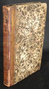
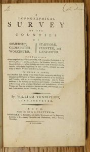
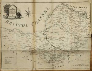
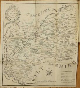
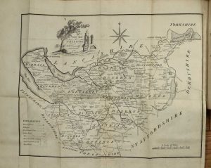
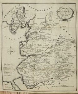
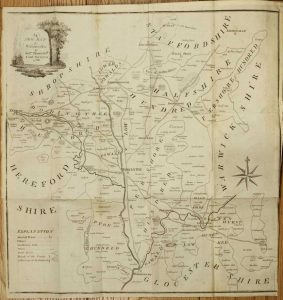
Octavo (220 x 135 mm.), contemporary half calf, marbled paper boards, blind ruled, rebacked preserving original spine with gilt and blind ruled bands, each compartment with central gilt feature, gilt title. With typographic half title and full title, six parts bound in two sections, pp. (vi), (2), 34, (2), 35-64, (2), 67-88; (2), 40; (2), 41-68, (2) , 69-118, with 6 folding maps and each with 8 plates of the Arms of the Nobility for each county, Lancashire has 16, Somerset with some fold repair an minor loss, Staffordshire with light browning at a fold, otherwise in good condition.
Stock number: 10334
£ 450


