Rare Maps and Prints
- World & Celestial
- North America
- West Indies, South & Central America
- British Isles
- British Isles
- English counties
- Large-scale
- Bedfordshire
- Berkshire
- Buckinghamshire
- Cambridgeshire
- Cheshire
- Cornwall
- Cumberland
- Derbyshire
- Devon
- Dorset
- Durham
- Essex
- Gloucestershire
- Hampshire
- Herefordshire
- Hertfordshire
- Huntingdonshire
- Islands
- Kent
- Lancashire
- Leicestershire
- Lincolnshire
- Middlesex
- Norfolk
- Northamptonshire
- Northumberland
- Nottinghamshire
- Oxfordshire
- Rutland
- Shropshire
- Somerset
- Staffordshire
- Suffolk
- Surrey
- Sussex
- Warwickshire
- Westmoreland
- Wiltshire
- Worcestershire
- Yorkshire
- Wales
- Scotland
- Ireland
- Western Europe
- Eastern Europe
- Middle East
- Africa
- Asia
- Australasia & Pacific
- Decorative Prints
- Title Pages
Mr. Philip D. Burden
P.O. Box 863,
Chalfont St. Giles, Bucks HP6 9HD,
UNITED KINGDOM
Tel: +44 (0) 1494 76 33 13
Email: enquiries@caburden.com
Rare maps of East Indies
15 rare maps matched your search criteria.
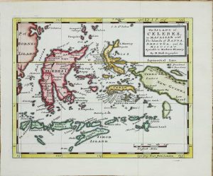
MOLL, Herman
Thomas Salmon, London, 1725-[39]
205 x 260 mm., in recent wash colour and in good condition.
Stock number: 10950
£ 150
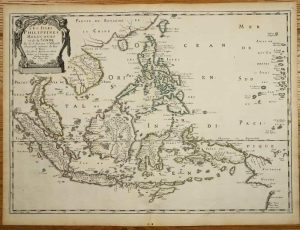
SANSON, Nicolas
Pierre Mariette, Paris, 1654
400 x 555 mm., in early outline colour, with light vertical folds to right of centrefold, two small wormholes at lower edge of margin, otherwise in good condition.
Stock number: 10922
£ 750
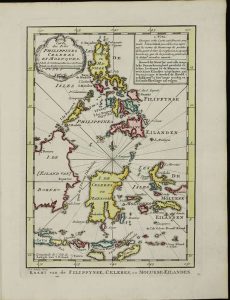
RAYNAL, Guillaume Thomas Francois
Ernest van Harrevelt; Daniel Jean Changuion, Amsterdam, 1773
(225 x 125 mm.), in very nice full early wash colour, good condition.
Stock number: 10796
£ 235
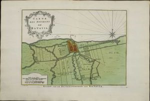
RAYNAL, Guillaume Thomas Francois
Ernest van Harrevelt; Daniel Jean Changuion, Amsterdam, 1773
(210 x 285 mm.), in very nice full early wash colour, good condition.
Stock number: 10791
£ 95
RAYNAL, Guillaume Thomas Francois
Ernest van Harrevelt; Daniel Jean Changuion, Amsterdam, 1749-[73]
(250 x 290 mm.), in very nice full early wash colour, good condition.
Stock number: 10790
£ 225
RAYNAL, Guillaume Thomas Francois
Ernest van Harrevelt; Daniel Jean Changuion, Amsterdam, 1773
(225 x 440 mm.), in very nice full early wash colour, good condition.
Stock number: 10789
£ 225
CORONELLI, Vincenzo Maria
Paris, c.1700
170 x 230 mm., with horizontal fold near the top to facilitate binding, in good condition.
Stock number: 9202
£ 125
LA PEROUSE, Jean Francois Comte de
Paris, 1797
270 x 410 mm., in good condition.
Stock number: 8786
£ 150
CHATELAIN, Henri Abraham
Amsterdam, c.1715
375 x 220 mm., with recent wash colour, in good condition.
Stock number: 8616
£ 95
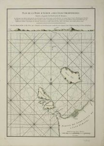
D'APRES DE MANNEVILLETTE, Jean Baptiste P. D.
Brussels, 1745-[75]
480 x 330 mm., early wash colour, with pasted over section containing new data on the north and east shores of Banca, in good condition.
Stock number: 8375
£ 165
SCHOUTEN, Walter
Amsterdam, 1676
200 x 290 mm., in good condition.
Stock number: 6255
£ 150
D'APRES DE MANNEVILLETTE, Jean Baptiste P. D.
Paris, 1775
480 x 330 mm., modern outline colour, tear in lower left corner repaired, otherwise in good condition.
Stock number: 5819
£ 175
D'APRES DE MANNEVILLETTE, Jean Baptiste P. D.
Paris, 1745
480 x 335 mm., fine early wash colour. Good condition.
Stock number: 4940
£ 175
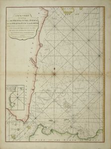
LAURIE, Robert & WHITTLE, James
London, 1787
660 x 485 mm., in fine modern outline colour with light browning along the centre fold, otherwise fine.
Stock number: 4542
£ 325
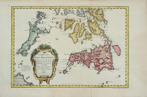
BELLIN, Jacques Nicolas
Paris, 1752
21 x 30.5 cms., in good condition apart from a lower margin repair
Stock number: 4013
£ 85


